How tall is Mt Everest? Scientists believe world’s highest peak is 'shrinking'

| Full Name | Mount Everest |
| Alias | Chomolungma, Sagarmatha |
| Height | 29,032 feet (8,848.9 meters) approx |
| Width | 12 miles (approx) |
| Located at | Mahalangur Himal sub-range of the Himalayas |
KATHMANDU, NEPAL: Mount Everest's towering height measures 8,848.9 meters (29,032 feet), approximately 25 kilometers (or 16 miles) when measured in kilometers. This suggests that by ascending directly upwards at a speed of 100 kph (62 mph), one could reach its summit in approximately 15 minutes.
Its Tibetan name, Chomolungma (or Qomolangma), means "Goddess Mother of the World" and is pronounced as "CHOH-moh-LUHNG-ma." On the other hand, the Nepali name for this majestic peak is Sagarmatha, which translates to "Goddess of the Sky."
Mount Everest, as a part of the Himalayan range, has a complex geological history.
The geological formation of Mount Everest commenced approximately 500 million years ago as a component of a protracted geological process. Nevertheless, the most significant event in its formation took place about 40 to 50 million years ago during the Eocene Epoch.
During this period, the Indian plate and the Eurasian plate collided, which ultimately led to the birth of the Himalayas, including Mount Everest.
This collision was a significant geological event that reshaped the landscape of the region.
Although the collision of the Indian and Eurasian plates played a pivotal role in shaping the Himalayas, Mount Everest is generally attributed to have a geological age of approximately 500 million years.
This signifies that the mountain's geological history is significantly older, with the Himalayan range forming due to a multitude of geological processes that unfolded over millions of years.
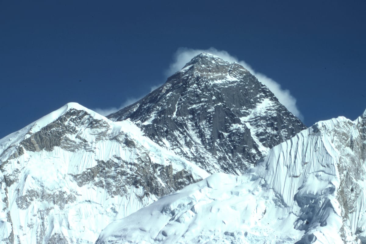
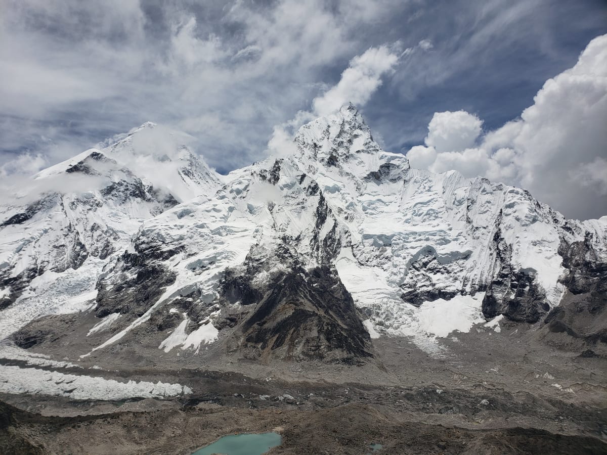
Mount Everest, the planet's tallest peak above sea level, is located in the Mahalangur Himal sub-range of the Himalayas, spanning the border between Nepal and the autonomous region of Tibet in China.
Due to its distinctive position, the mountain has become a celebrated destination for climbers, serving as both a symbol of natural beauty and a geological marvel.
It serves as an iconic point of demarcation between these two countries and remains a source of allure and a formidable challenge for adventurers and explorers worldwide.
The elevation of 8,848.86 meters was officially determined in 2020 through a collaboration between Chinese and Nepali authorities.
Is Mount Everest really tallest mountain on Earth?

The designation of the "tallest mountain on Earth" can be subject to variation depending on the measurement criteria, leading to ongoing debates about which mountain should be granted that distinction.
Mount Everest: Mount Everest is traditionally recognized as the tallest mountain when measured by its elevation above sea level. Its summit, at 8,848.9 meters (29,032 feet), is the highest point on Earth in this regard.
Mount Chimborazo: When assessing the measurement from the Earth's center, Mount Chimborazo in Ecuador lays claim to being the farthest point from the Earth's center, owing to the equatorial bulge, which renders it "taller" according to this criterion.
Mauna Kea: Mauna Kea in Hawaii is often regarded as the tallest mountain when measured from its base on the ocean floor to its summit. While much of Mauna Kea is underwater, its height from base to peak is greater than that of Mount Everest.
The debate stems from the diverse methods of measuring and comparing mountains. Mount Everest unquestionably holds the title for the highest peak above sea level, but the criteria shift when taking into account measurements from the Earth's center or assessing the height from the mountain's base to its summit.
According to scientists, Mount Everest's height has been gradually increasing over time due to the ongoing effects of plate tectonics. The Indian tectonic plate's northward movement under the Eurasian plate has led to the uplifting of the Himalayan region, including Mount Everest.
However, it's worth noting that the sudden and powerful forces generated by earthquakes can counteract this gradual growth, causing the mountains to temporarily lose height.

This phenomenon became particularly apparent in 2015 when a devastating 7.8-magnitude earthquake struck Nepal, resulting in a significant loss of life and impacting Everest climbers.
Subsequent satellite data from Europe's Sentinel-1A satellite suggested that the earthquake may have caused Mount Everest, the Earth's tallest peak, to decrease in height by about an inch.
During the Geospatial World Forum in Hyderabad, India, Swarna Subba Rao, India's surveyor general, informed the press that his country intends to undertake measurements of the mountain to verify or contradict those reports.
“We are re-measuring it. It is almost two years since the major Nepal earthquake. After that, there is a doubt in the scientific community that it is shrinking.”
As per Rao, cited by the Press Trust of India, "That is one of the reasons. The second reason is that it aids in scientific research, including the study of plate movements."
Is K2 actually higher than Everest?

Mount Everest unquestionably holds the title as the tallest mountain above sea level, with a height of 8,848.9 meters (29,032 feet), while K2 is the second-highest mountain globally, measuring 8,611 meters (28,251 feet).
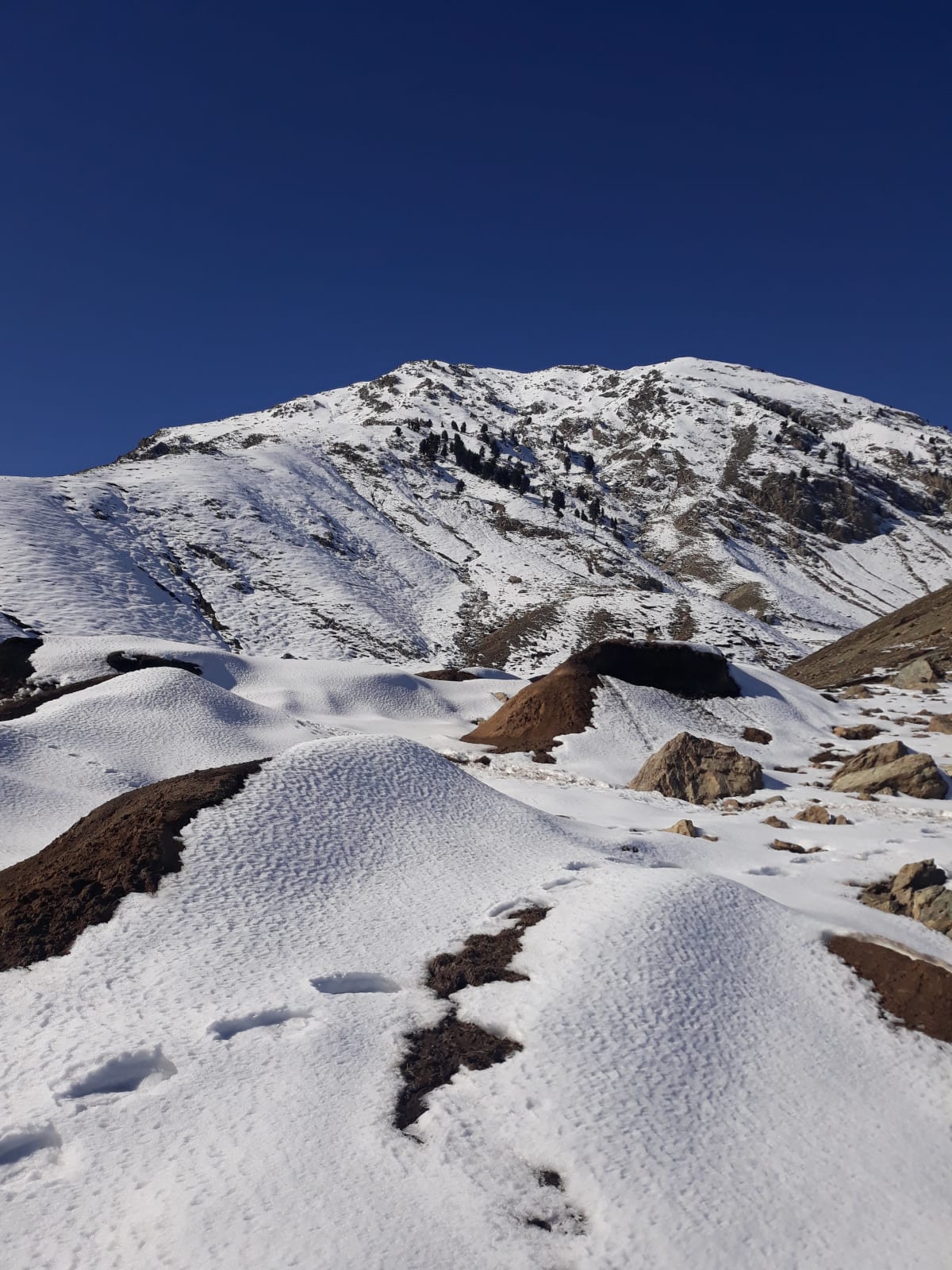
K2 or “Chogori,” is located in the Karakoram Range, which is not part of the Himalayas, but rather in Pakistan's Gilgit-Baltistan region and a portion of Kashmir administered by China.
Historically, K2 had one of the highest death rates among the 8,000-meter peaks, along with Annapurna I (8,091 meters) and Nanga Parbat (8,126 meters).
These mountains had death rates in the low 20 percent range. Recent ascents of K2, particularly in 2022, have contributed to a lower overall death rate, which now stands at around 13%.
K2 achieved its first successful winter ascent in 2021, becoming the last of the 8,000-meter peaks to be conquered during the winter season.
K2 is renowned for its extreme difficulty and danger due to its challenging climbing conditions and harsh weather. It has earned the nickname "Savage Mountain" for these reasons and is one of the most challenging peaks to climb in the world.


