Hurricane Isaias makes landfall in North Carolina, experts predict floods, tornadoes and storm surges

After deviating from making a direct hit in Florida, Hurricane Isaias made landfall in southern North Carolina late on Monday, August 3, night. According to the National Hurricane Center (NHC), Isaias made landfall at 11:10 pm EDT on August 3 near Ocean Isle Beach, with maximum sustained winds of 85 mph, after strengthening into a Category 1 hurricane.
The latest bulletin issued by the NHC says that hurricane conditions are spreading onto the coast of Eastern South Carolina, and Southeastern North Carolina. Strong winds and heavy rainfall are likely from the Eastern Carolinas to the mid-Atlantic coast on August 3 night and August 4. Flash floods, storm surges and even tornadoes are possible. The warnings might change or they may be updated in the next bulletin. “Heavy rainfall along the East Coast, near the path of Isaias, will result in flash and urban flooding, some of which may be significant in the eastern Carolinas, Mid-Atlantic, and Northeast through Wednesday. Widespread minor to moderate river flooding is possible across portions of the Carolinas and the Mid-Atlantic. Quick-responding rivers in Northeast will also be susceptible to minor river flooding,” says the Center.
A hurricane warning is currently in effect for South Santee River, South Carolina, to Surf City, North Carolina. Such a warning means that hurricane conditions are expected somewhere within the warning area. “Hurricane-force winds extend outward up to 25 miles (35 km) from the center and tropical-storm-force winds extend outward up to 125 miles (205 km). A station at Frying Pan Shoals, North Carolina, recently reported sustained winds of 72 mph (116 km/h) and a wind gust of 93 mph (150 km/h),” says the NHC.
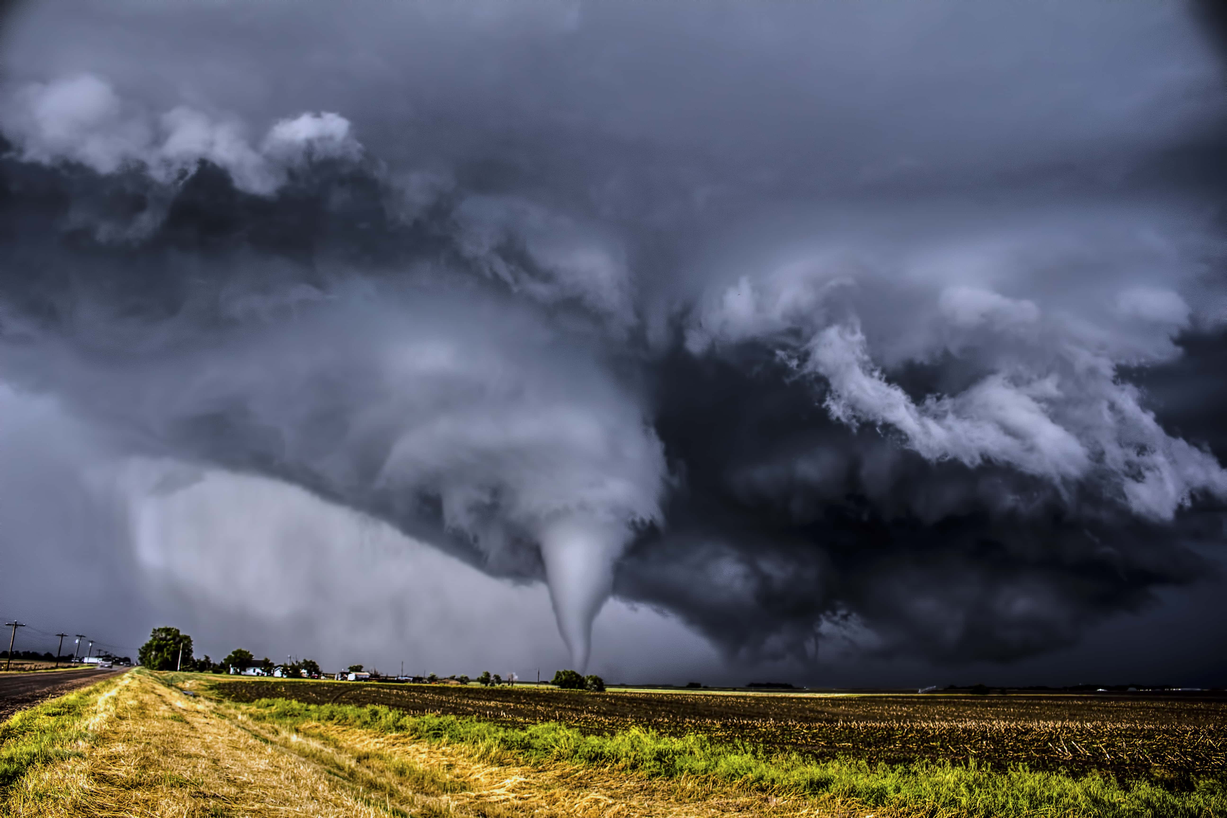
A few tornadoes may be possible across eastern North Carolina on August 3 night and from eastern Virginia northeastward into southern New England on August 4. “Swells generated by Isaias are affecting portions of the Bahamas and the southeast coast of the US and will spread northward along the US east coast during the next couple of days. These swells are likely to cause life-threatening surf and rip current conditions,” says the forecast.

A storm surge warning is currently in effect from Ocracoke Inlet, North Carolina to Oregon Inlet, North Carolina. A storm surge warning means there is a danger of life-threatening inundation, from rising water moving inland from the coastline, in the indicated locations. According to the Center, this is a life-threatening situation, and persons located within these areas have been asked to take all necessary actions to protect life and property from rising water and the potential for other dangerous conditions. The storm surge warning is in effect for South Santee River (South Carolina) to Cape Fear (North Carolina), Pamlico and Albemarle Sounds, including the Neuse and Pamlico Rivers, Ocracoke Inlet (North Carolina) to the North Carolina/Virginia border. “There is the danger of life-threatening storm surge inundation along portions of the immediate coastline and adjacent waterways of northeastern South Carolina and the North Carolina coast, including portions of Pamlico and Albemarle Sounds. Residents in these areas should follow the advice given by local emergency officials,” says the advisory.
A tropical storm warning is in effect for north of Stonington Maine to Eastport Maine. A tropical storm warning means that tropical storm conditions are expected somewhere within the warning area, generally within 36 hours. The places for which tropical storm warning has been issued include Pamlico and Albemarle Sounds, Chesapeake Bay, Tidal Potomac River, Delaware Bay, Long Island, and Long Island Sound, Martha's Vineyard, Nantucket, and Block Island. The tropical storm warning and storm surge warning south of the South Santee River has been discontinued.
“Widespread tropical-storm conditions are expected in the tropical storm warning area from coastal North Carolina to the mid-Atlantic states, including portions of the Chesapeake Bay region, later tonight (Monday) and Tuesday, with wind gusts to hurricane force possible. These winds could cause tree damage and power outages. Tropical storm conditions are expected to reach southern New England Tuesday afternoon and northern New England Tuesday night and early Wednesday,” warn experts.


